Wildfire and Water Quality
State Water Resources Control Board Emergency Management Program
The California State Water Resources Control Board’s Emergency Management Program (EMP) was established in 2019 to protect public health and water quality by providing emergency management (including preparedness, response, recovery, and mitigation) for emergencies that may impact water quality and/or water supply.
Central Valley Water Board and Wildfire
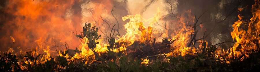
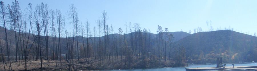
While fire is an essential and natural process that serves California's natural landscapes, increasingly, fires across California are becoming uncharacteristically large, increasingly severe, and undoubtedly pose a risk to the beneficial uses of water resources throughout the watersheds they affect.
The Central Valley Water Board has the responsibility and authority to ensure the protection of beneficial uses of waters within its region and has a variety of tools that can be brought to bear to reduce the impacts of wildfire on water quality. This includes our regulatory authority, policies, investigation teams, water quality monitoring and assessment teams, and technical experts. In the post-fire environment Board staff may participate in multi-agency monitoring or assessments like the state’s CAL FIRE led Watershed Emergency Response Team (WERT), or the federal Burned Area Emergency Response team (BAER).
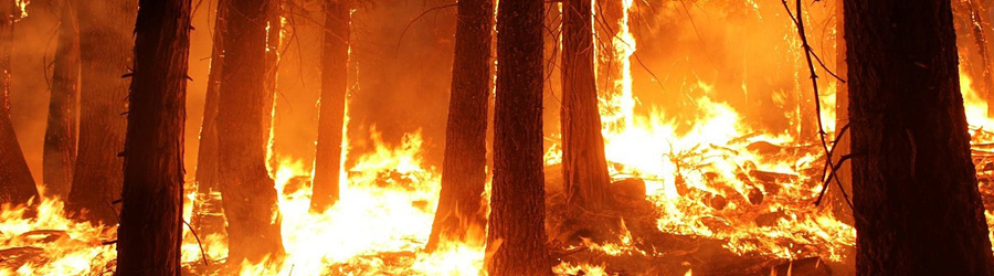
A common thread among California's fires is their geography. Without question wildfire in the wildland-urban interface, or “WUI”, creates significant challenges and hardships for communities, firefighters, and many others. Responding to the aftermath of fire in the WUI also poses significant challenges to agencies charged with protecting public safety, drinking water infrastructure and restoring water quality and fish habitat. Acute threats to public health and the environment can come from obvious sources such as debris flows and flooding, but they can also come from less obvious sources such as; fertilizers, herbicides, and other chemicals that might flow into waterways, or be washed into storm water management systems. When fires burn into the WUI, these acute risks are mixed with the more chronic threats of erosion and sedimentation commonly associated with a denuded landscape following wildfire.
Research shows that fire affected areas in California, including those in the WUI, contained increased concentrations of contaminants including nutrients (e.g. nitrates and phosphorus), polycyclic aromatic hydrocarbons (PAHs), aluminum, copper, zinc, mercury, lead, and other metals. Several of these pollutants can be harmful to human health and toxic to aquatic life at elevated concentrations. Many pollutants absorb, or attach, to suspended particles such as sediment, and enter surface waters as runoff. High flows can transport sediment-bound pollutants to nearby waterways (gullies, canals, creeks, and rivers) and accumulate downstream in larger waterways, reservoirs, and the Sacramento-San Joaquin River Bay-Delta.
The Central Valley Water Board has three offices (for a map of all regions see: Water Boards Map | California State Water Resources Control Board); Redding, Sacramento, and Fresno. Each office will respond to fires occurring within their general area.
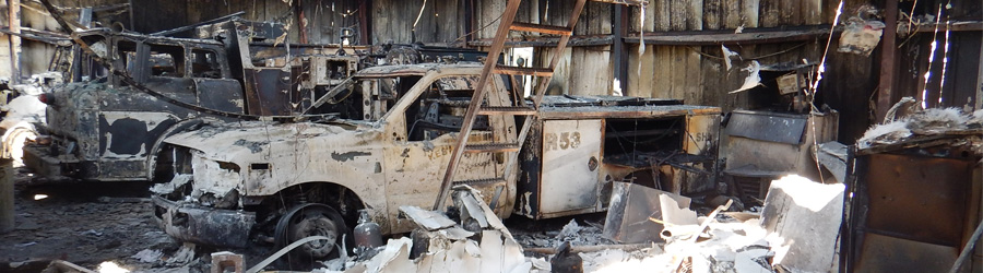
Fire response requires deliberate application of a variety of approaches, always tailored to the specific fire event due to differences in geology, precipitation, burn severity and extent, beneficial uses of local water resources, staff expertise and availability, and the availability of other resources. The preference in a developed area is to address hazardous materials, which can include ash and burned elements of homes, garages, and businesses. This is generally completed by post-fire response teams from CalOES, CalRecycle, the Department of Toxic Substance Control (DTSC) and the Federal Emergency Management Agency (FEMA).
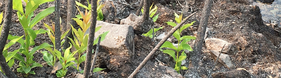
Staff recommendations often include the installation of best management practices (BMPs) to mitigate erosion, sediment and any other pollutants running into the waterways, where such measures have the greatest chance of being effective. These practices might include installation of sediment retention basins, installation of straw wattles/fiber rolls, hydroseeding, or other activities aimed towards mitigating the risk of or impacts of sediment-laden runoff. More information about specific erosion control BMPs is available in the general fire response information available in the Resources section of this page (upper right). Site-specific questions regarding the application of BMPs in the post-fire environment can be directed to the Natural Resource Conservation Service (NRCS). The NRCS offers site-specific consultation and can be reached at their regional office locations (California USDA/NRCS Service Center Locator).
If possible, Central Valley Water Board staff will support, participate in, and/or lead water quality monitoring programs to assess post-fire impacts on regional water resources. These efforts will generally focus on high-value waterways, such as those supporting anadromous fish, and drinking water sources downstream of anthropogenic sources. Information pertinent to the public will be made available to the extent possible, but questions regarding individual post-fire monitoring activities may be asked of individual offices, via the contact information below.Table of Contents
Contact Information
- Fresno Office
1685 E Street
Fresno, CA 93706
(559) 445-5116 - Redding Office
364 Knollcrest Dr., Suite 205
Redding, CA 96002
(530) 224-4845 - Sacramento Office
11020 Sun Center Dr., Suite 200
Rancho Cordova, CA 95670
(916) 464-3291 - Web page problems:
- Report an Environmental Concern
