![[Add Program Name Here] Program Logo](/sanfranciscobay/images/banner/Groundwater_Banner.jpg)
Groundwater
Groundwater comprises about 20 percent of the Bay Area Region's water supply. Groundwater is most heavily used in the Santa Clara, Napa-Sonoma, Livermore, and Petaluma Valleys. At the same time, groundwater throughout the Region supports local water supplies.
Aquifer recharge is an important component of sustainable groundwater management. Typically, local agencies use percolation ponds, spreading basins, in-stream recharge, and injection wells to recharge aquifers.
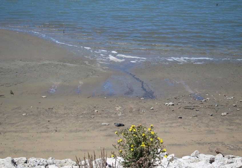
Groundwater in the Region is generally of high quality, but faces numerous threats including, industrial spills, leaking underground storage tanks, improperly maintained septic systems, urban runoff, and inefficient agricultural operations. Degradation of groundwater quality primarily occurs from industrial chemicals and salt from seawater intrusion. Pollution from nutrients (i.e. nitrate) can be significant in localized areas particularly in areas where fertilizer and wastewater discharges predominate.
Announcements
No new Announcements
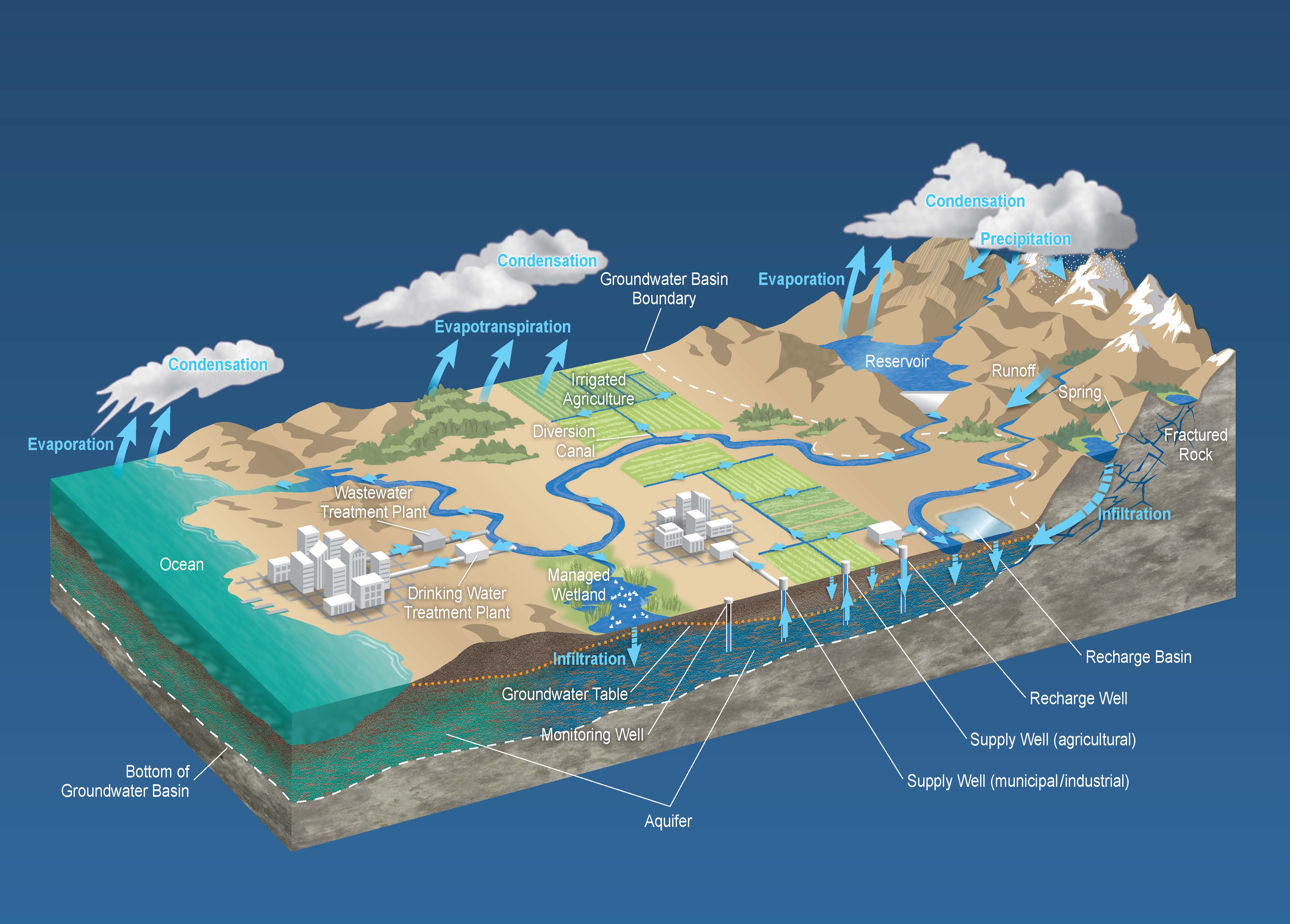
Groundwater exists beneath the earth’s surface within the soil and rock pore spaces, fractures, and caverns. As part of the hydrologic cycle, groundwater generally flows with the topography, from high to low areas, and ultimately discharges into rivers, lakes, or the ocean. In this way, groundwater and surface water are essentially one resource. Groundwater and surface water interactions are controlled by their hydraulic communication. Groundwater basins are thick accumulations of soils and sediments that often occur in valleys or other areas between bedrock slopes or ridges. Aquifers are the more permeable soil and rock formations where groundwater yields are higher than surrounding areas. Groundwater for human use is most often tapped by wells installed within an aquifer, or by naturally-occurring springs.
Groundwater basins are thick accumulations of soils and sediments that often occur in valleys or other areas between bedrock slopes or ridges. Aquifers are the more permeable soil and rock formations where groundwater yields are higher than surrounding areas. Groundwater for human use is most often tapped by wells installed within an aquifer, or by naturally-occurring springs. For more information visit the following links:

Figure Above: The Hydrologic Cycle
There are 35 groundwater basins in our region as identified in our Basin Plan and DWR’s Bulletin 118. Regional Water Board staff have compiled fact sheets for groundwater basins in the San Francisco Bay Region included in the link below, which summarize use, quality, recharge, and management.
Groundwater Basins and Subbasins within the San Francisco Bay Hydrologic Region
For more information about groundwater basins in the San Francisco Bay Region, visit: DWR Bulletin 118 Basin Descriptions
Contact WB-RB2-SustainableGroundwater@waterboards.ca.gov for general inquiries about sustainable groundwater management in the Region.
Regulatory program areas related to groundwater protection:

We engage across many topical areas to plan and coordinate implementation of our groundwater related programs:

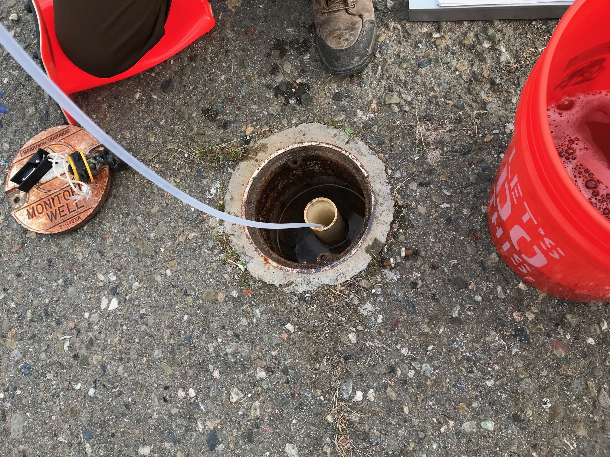
We use these tools to monitor and assess groundwater related information in support of our groundwater programs:
| GeoTracker |
| Groundwater Ambient Monitoring and Assessment (GAMA) |

East Bay Plain Groundwater Beneficial Use Evaluation: Hayward to Richmond (June 1999)
San Francisco and Northern San Mateo County Beneficial Use Evaluation (April 1996)
Groundwater Protection Strategy for the Napa River Watershed (April 1996)
USGS Groundwater/Surface water publication
The Nature Conservancy Groundwater Dependent Ecosystems
Environmental Screening Levels
Groundwater-Surface Water Interaction Fact Sheet #1 (pdf) November 2004
Contacts
Have a program-specific question? Ask the program. Contact information is available on the program's website (accessible through the "Regulate", “Plan and Coordinate”, and “Monitor and Assess” tabs).


